THE GLORIOUS REPATRIATION ROUTE
Information
Length: 327km
Altitude difference: ↑ 13.930m ↓ 13.460m
Duration: 21 days
GPS track
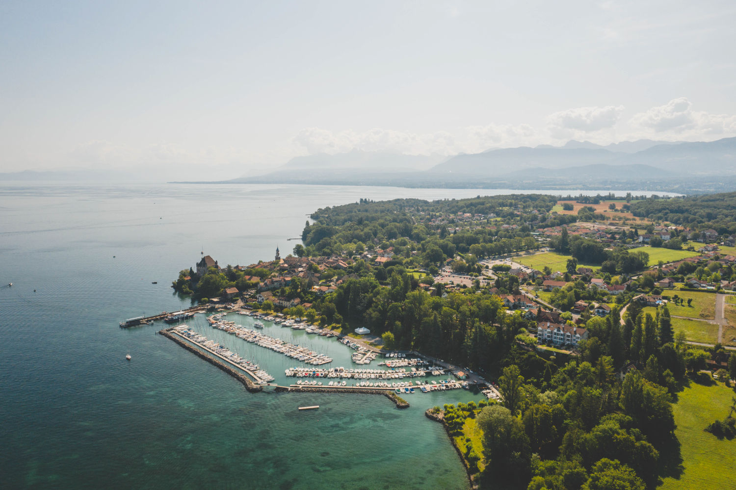
This is a mountain route; a historical and cultural itinerary; a symbol of the return to one’s land, one’s home and the freedom to profess one’s faith. This is the Glorious Repatriation route! It follows the route of a journey that began on the night of 16 August 1689, two years after the forced exile, when less than 1000 men set out from the shores of Lake Geneva towards Savoy, in the hope of returning to their valleys in Piedmont.
Today, the itinerary covers 21 stages and starts right on the shores of Lake Geneva, from the village of Nernier and crosses the Alps. The Italian section begins at Col Clapier and finally arrives in Bobbio Pellice, at the Sibaud monument.
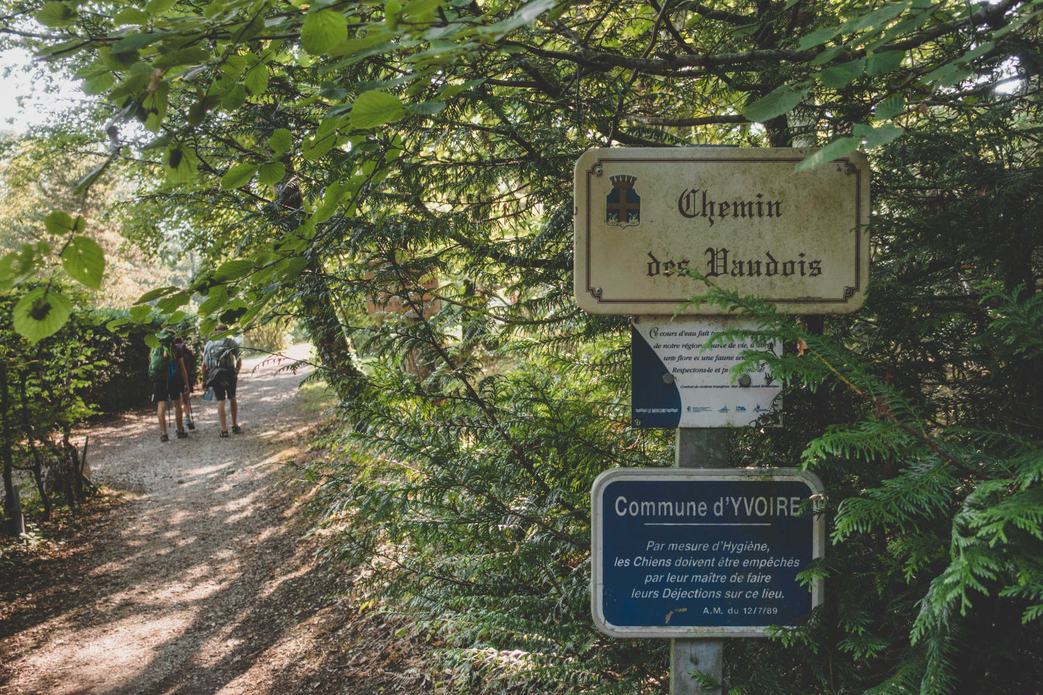
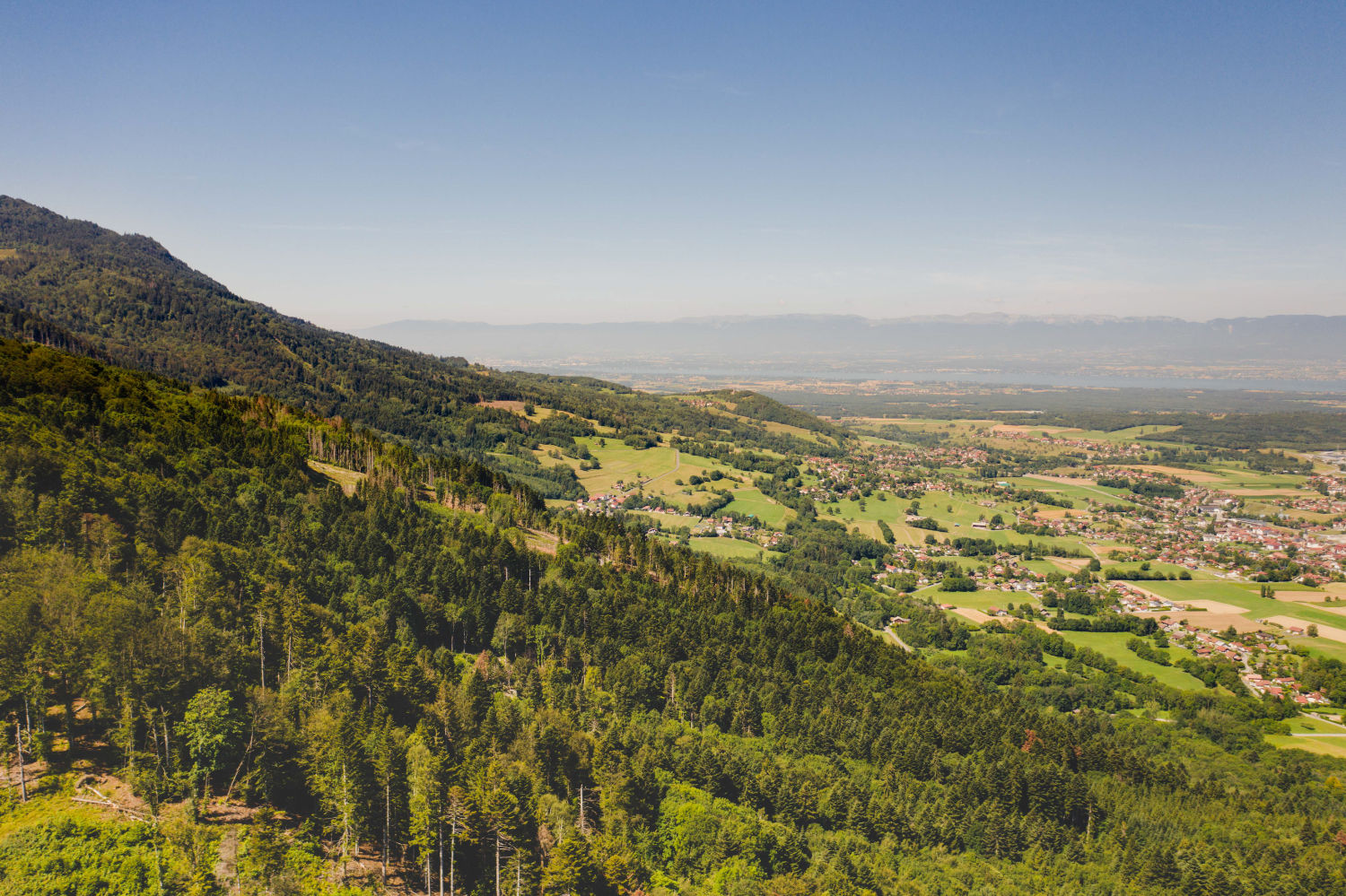
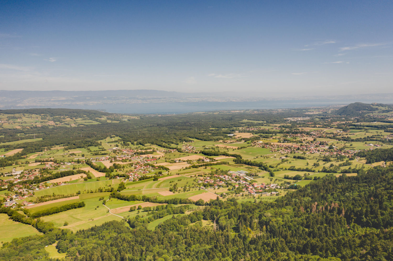
This itinerary starts from the village of Nernier on Lake Geneva. The mountains are still a long way off, but the first climbs are already visible on the horizon. Leaving the shores of the lake, the first part of the stage leads into the Chablais countryside. The path is easy in the first few kilometres, but this should not mislead you because to tackle this stage you need to be well trained, otherwise it is better to split it into two parts. The route is long, with a demanding final ascent to the Col de Saxel. The signposting is not always accurate, especially in the crossing of the Planbois forest and in the final stretch towards the Col de Saxel, so be careful.
Here it would be very useful to have the GPS track of the route and of course, the guidebook.
Astonishingly, when they arrived at Saint-Jeoire, the Waldensians had not yet finished their first day’s walk. We however, have the privilege of travelling slowly, and can contemplate the meadows, forests and beautiful villages of the Haute-Savoie. The main challenge presented by this stage is to keep to the right path between Boëge and the Col de Ludran. The signposts are not always precise and the complex terrain and the pastureland fences can make walking and orientation difficult. It is nevertheless accessible, with easy climbs and long descents. In the distance, the Alpine peaks forming the Mont Blanc massif are clearly visible.
From Saint-Jeoire, walk along the hillside, first up the valley of the Le Giffre stream, then along the wider, urban Arve valley. There is a lot of tarmac to be covered, but always along on minor roads that offer good views and easy walking. The exception is the section between the old Marignier bridge and Brannaz on the D6 (a wide, busy road). This brings you to Cluses, the small capital of Faucigny, famous since the 18th century for its watchmaking workshops. The village owes its name to the narrow gorge of the Arve, at the foot of which the town developed.
This easy stage runs along the Arve torrent, approaching the Mont Blanc massif, which is the background to today’s efforts. The effort needed is limited to the altitude and difficulty in finding the road. Three long dirt tracks along the Arve will relieve the asphalt sections for a while.
This stage offers great views of the Mont Blanc massif, at the price of some moderate effort. You will climb above 1000 metres for the first time on this journey, yet the ascent is not excessively tiring. A little too much asphalt has to be covered, but this is unavoidable.
This is first big climb of the Glorious Repatriation Route, and the Alps immediately begin to make themselves felt. The difference in altitude is just under 1000m. The climbs along the ski slopes are very tiring. It can also be difficult to find the right route, so be careful!
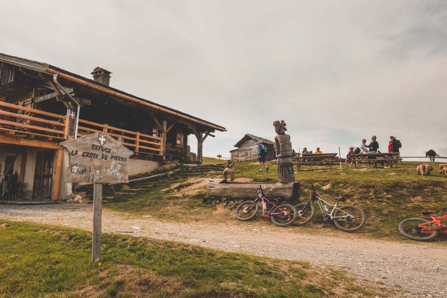
Note: on reaching the top of the Col de Véry you will find the delightful “Refuge de la Croix de Pierre”, where we recommend you spend the night.
From the Col de Véry, the walk is always at a high altitude, from hill to hill, on rocky windswept ridges. The route takes time due to its winding nature and the height differences. The ascent before the Col du Joly is tiring too. Particular care is needed on the descent from the Col de la Fenêtre, which is initially steep and stony, and arrives just at the moment when you may already be tired. Beyond the pass you will be able to look out over the green, forested valley of Les Contamines-Montjoie. It is the highest nature reserve in France, and the only one in the Mont Blanc region.
Note: We recommend that you stay over night at the “La Balme” refuge, which is located right at the end of the stage. Alternatively, further down the valley, there is the “Nant Borrant” refuge. Both are on the popular Tour du Mont Blanc route and it is therefore advisable to book your overnight stay in advance.
Grandiose alpine scenery greets your entrance into the Isère valley. In the historical region of Haute-Tarantasia, this scene will more than repay the efforts of the day. In addition, the ascent to the Col du Bonhomme and its continuation to the Col de la Croix du Bonhomme are not too steep. The descent to Les Chapieux is considerably steeper however, and more than a little “leg-breaking”.
Note: at the end of the stage, at “Les Chapieux”, there is the “Auberge Refuge Nova” and “Les Chambres du Soleil”. Both places are on the popular Tour du Mont Blanc route and if you would like to stay in one of them over night, we strongly advise booking in advance.
This is a quiet ‘transfer’ stage which preceeds the start of the ascent to the Alpine passes of the Iseran and Moncenisio. The landscape is pleasant here in the Chapieux valley, between steep cliffs and forests. You descend into the Isère valley on an almost entirely tarmac route with favourable gradients until you reach Séez, one of the best-known tourist resorts in Haute-Tarantasia. It owes its name – from the Latin Sextum – to the fact that it is at the sixth mile on the Roman road to the Petit St Bernard pass.
The route is easy in the first part of this stage along the river Isère, where grassy glades and woods alternate. From the village of Villaroger onwards, the climbs begin, becoming more demanding towards the end. There is also a short stretch (less than 2 kilometres) on the busy D902, but otherwise it is good walking. Leaving the valley floor, a final push leads to the meadows and high villages of the town of Sainte-Foy-Tarentaise. You will spend the late afternoon in alpine pastures at Le Monal, with a view of Mont Pourri (3,779 metres), in the Vanoise National Park.
Note: at the top of the Col de Véry, you will find “Le Refuge du Monal” where we recommend you spend the night.
There is light and shade on this stage of the route, which crosses one of the most intensely developed – for better or worse – tourist areas in the Alps. Despite the presence of all the developments that accompanies the ‘white circus’ of ski tourism, you can still walk through the woods and across the meadows on footpaths. Continuous changes in gradient, with short but tough climbs and steep descents, make this stage in Val d’Isère challenging, not least because of its length. The good signposting helps to ensure that no time is lost.
Today’s destination in the Arc valley, is one of the most beautiful in the area – Bonneval-sur-Arc. Here in the Vanoise National Park, Chalets in pure Savoyard style await you among the meadows. But beauty requires effort! The climb to Iseran, the highest pass of the Glorious Repatriation, is long and hard. There is over 900 metres of altitude difference with unpleasant stretches across ski slopes. On the descent, there are also some points that need to be tackled calmly and carefully.
This route stage follows hiking trails suitable for any walker. It includes the Chemin du Petit Bonheur, a 50 km itinerary following the course of the Arc river, from Modane to Bonneval-sur-Arc. You arrive in Lanslevillard on the Chemin de l’Histoire, which connects the numerous country chapels in the valley. The route is mostly flat and smooth in the upper Maurienne valley, with a few short climbs. Here you can thus recover from the efforts of the previous days, bearing in mind that the previous week of walking will have been demanding.
Grandiose alpine panoramas unfold over the Mont Cenis pass, where a natural lake, much smaller than the present one, was already in existence when the Waldensians passed through. The climb up the Chemin de la Ramasse is steep, with along ski slopes. The rest of the stage runs up to the “Refuge du Petit Mont-Cenis”, and is easy and pleasant.
Here you are in the high mountain stage. Walking is always above 2,000 metres, and in a rocky landscape. The day will be challenging in good weather, and very challenging in fog or bad weather. he final section, from the Clapier Pass to the Gias hut, is tricky with a ford, irregular signposting and a narrow, steep stretch of path. It is necessary to proceed with the utmost care in order not to miss the signs and your orientation. At the end ofthe day you will finally reach the “Luigi Vaccarone Refuge”.
THE ORIGINAL ROUTE
To return to the original route, you have to go back to Col Clapier and then head down a long, steep descent to the hamlet of San Giacomo. From there, the very steep Tiraculo valley begins and takes you back above 2000 metres. From the Quattro Denti (“Four Toothed”) peak, the route is the same as the alternative option below.
THE ALTERNATIVE
The original version ofthis stage is only recommended for well-trained walkers and in good weather conditions.The alternative to this stretch, as can be seen from the map, is much gentler and makes the first part of this stage more mangeable.
From the Quattro Denti peak, so called because of the limestone towers arranged along the ridge, the descent continues with an amazing view over the Susa valley. At the end, the trail climbs slightly to reach the “Levi – Molinari” refuge.
A long descent, among sparse larch woods and meadows, leads to the bottom of the Val Susa valley, where the decisive battle at the bridge of Salbertrand opened the way for the Waldensians to return to their homes. After crossing the bridge over the River Dora, you climb into the thick forests of the Gran Bosco di Salbertrand, as far as the beautiful village of Montagne Seu. Although the refuge here is small and has no electricity, prepare yourself for an evening far more comfortable than the one spent by the Waldensians, camped in Monfol or dispersed in the woods. The place is cosy and well maintained, and you can dine by candlelight!
The forest is the main feature of this part of route. We cross the Gran Bosco di Salbertrand, with its centuries-old larch and fir trees covered in lichen. For those who stopped in Salbertrand, we suggest following more closely the Waldensian’s steps and going up towards Monfol (the blue variant of the route), and then rejoining the path coming from Montagne Seu.
You then climb to the Costa Piana pass, which won’t present any particular difficulties. The descent into Val Chisone is long but very gradual. To catch your breath, stop off at the pretty hamlet of Allevé, which still has old stone and wooden houses.
The original track continues downhill towards the village of Pragelato.
The guide proposes a slightly different itinerary, arriving at the “Mulino di Laval” hut (without passing through Pragelato). If sleeping accommodation is available, we recommend the latter diversion, which lengthens this stage by 5km but shortens the next stage, which will be very demanding.
This is an extrenely demanding stage due to the considerable altitude difference and the long descent into the Valloncrô valley. You will be rewarded by the unspoilt beauty of the landscape though. It’s not that difficult to spot animal tracks or edelweiss (to be left on site). You will bewelcomed into the valley by the Pis waterfall, which is overlooked by the steep walls of the Castle. It was here, and in the Balziglia village below, that the Waldensians suffered months of harsh siege. Once at Balziglia, the path continues along a lovely path that runs alongside the stream and takes you to the Massello guesthouse.
Note: We recommend that you stay overnight at the “Foresteria di Massello”.
In this part of the route you will walk mainly through woods, and at medium mountain altitudes, passing the two easy hills of Serrevecchio and Galmont on your way. The main points of interest are the many hamlets where, despite depopulation, interesting encounters are always made. Don’t miss a visit to the beautiful museum in Rodoretto, ‘La Meizoun de nostri don’, in an old house where the village school was also located. It has been passed down to us with all its furnishings. Another museum where you can learn more about the history of the local community can be visited in Ghigo, in the oldest Waldensian temple in the valleys.
THE ORIGINAL ROUTE
The ascent to Col Giulian, but even more so, the descent into the valley of the same name, are among the most difficult points of this stretch. For this reason we offer more than one route. Whichever you choose, you will come across authentic alpine wildernesses and landscapes of severe beauty. From the Giulian bergeries, the path becomes difficult to follow and it is very important to have GPS in order not to get lost, as many signs can get covered by tall grass. After passing the hamlets above Bobbio Pellice, you will finally reach the Sibaud monument. It was erected here in 1889 to commemorate the Oath of Sibaud of 1st September 1689, with which the Waldensian exiles of the Glorious Repatriation swore loyalty first of all to God, then mutual obedience and loyalty between soldiers and officers, including the commander-pastor Henri Arnaud, to continue the fight towards freedom.
THE ALTERNATIVE
This alternative will allow you, by means of the 13 Laghi chairlift, to drastically cut the walking you would have to do on the ascent. From the arrival of the chairlift proceed towards the 13 lakes, and from there towards Col Giulian along a beautiful mule track. Once at the pass, the route rejoins the original route.


